Objective: take the train from Burton to Tamworth. Cycle back along the Birmingham & Fazeley and Coventry Canals, then the Trent & Mersey Canal to Burton. Finish with a pint at the unspoilt Coopers Tavern in Burton.
Trip Type: solo cycle
Distance: 22.5 miles
Time to complete: 3 hrs, 7.9 mph
Nicholson Guide: Guide 3, pp 58, 61, 180-185
Costs: free parking in Burton. Train from Burton to Tamworth £7.90, 2 per hour
Difficulty: moderate
Adjacent Rides: Fazeley Junction to Gas Street Basin, Fazeley Junction to Bedworth, Burton to Long Eaton
Overview
A mainly rural ride with some lovely scenery between Fazeley and Fradley Junction. There is a long stretch alongside the A38 which isn’t quite so scenic, but the prospect of a pint in the wonderful Coopers Tavern will see you through.
The ride is categorised as MODERATE, due to long sections of narrow, twisty towpath, which although generally flat, are poorly maintained, overgrown, with tree roots and stones. A couple of times I had to dismount and walk for a short section. There is also a carry up steps on arrival back at Burton (although this can be avoided).
1. Burton to Fazeley Junction (3 miles)
Park your car in Grange Street, Burton-upon-Trent, DE14 2ET. Turn left onto Shobnall Road to the roundabout and turn left onto A5121 Wellington Street. Turn right onto Borough Road and the station is up the hill and to your right.
Take the train to Tamworth. The train will arrive at a high-level platform, so you need to take the lift down to the low level to exit the station.
Emerging from Tamworth Station bear south on the A513 Saxon Drive past Aldi down to what is effectively a massive roundabout. At the pedestrian crossing cross the road towards Frankie & Benny’s. Turn left on the pavement and cross over the road bridge. Drop down the slope and go straight across the cycleway crossroads towards the snowdome. Just before you get to it bear left under the roundabout to be alongside Peelers Way, A51. The cycleway chicanes left under Peelers Way and continues on the left-hand side. After 1/2 mile, and passing under the A5, the path bears left up to the canal. Join the towpath and head south (turn right). Continue to Fazeley Junction.
2. Fazeley Junction to Fradley Junction (11 miles)
Note: the stretch of canal from Fazeley Junction to Fradley Junction has a disputed name: originally intended to be the Coventry Canal, due to financial difficulties the eventual ownership was not clear, and some publications (including the Nicholson Guide) have it as the Birmingham & Fazeley Canal.
After a short stretch of reasonable looking modern canalside housing, you are into the countryside and the towpath narrows, and becomes rough compacted earth.
At Hopwas the path widens again and is compacted earth and gravel for a while. As the canal passes between Whittington Artillery Range and the River Tame there is some beautiful woodland scenery.

At Huddlesford Junction the Coventry Canal is joined by the disused section of the Wyrley & Essington (which is the subject of a restoration project, to connect back up with the W&E at Ogley Junction as mentioned in the Rushall Canal and Walsall ride). There is a short stretch of moorings along the W&E but definitely no access – there are gates and plenty of warning signs.
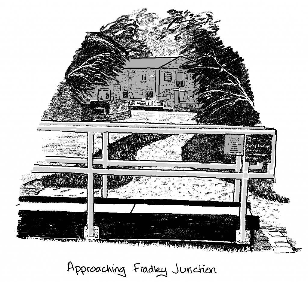
Continue to the popular Fradley Junction, where pubs, cafés and gongoozlers may delay you. Turn right onto the Trent & Mersey Canal. The towpath is very good at this point as it is a popular tourist destination, and also forms an access road for the initial stretch.
3. Fradley Junction to Burton (9.5 miles)

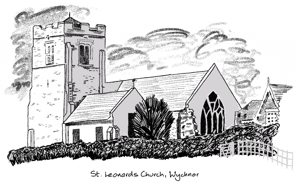
Heading along the Trent & Mersey, you will see an imposing church on the hill – St. Leonards at Wychnor. After this there is a deterioration in the towpath and it is poor right up to the river section, where the canal briefly joins the River Trent, and a series of narrow footbridges carry the towpath over the river and various inlets, until the two waterways part again.
Then the busy A38 runs alongside to the right of the canal for several miles, constricting the towpath to a narrow, muddy 6 inch track when it is on the right-hand side, slightly better and wider for sections on the left-hand side.

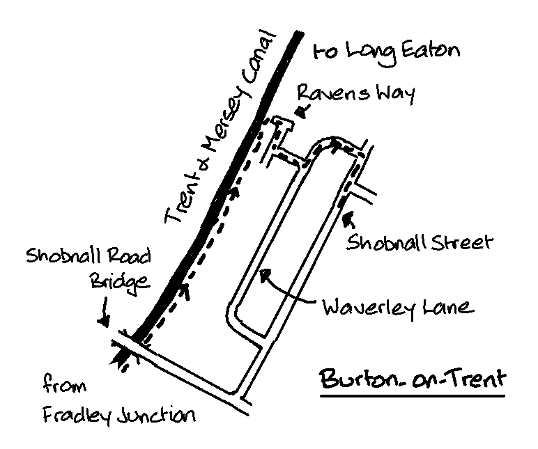
Once the A38 veers away at Branston, towpath conditions are not such a pickle, and improve for the final run into Burton. Carry on under Shobnall Road (bridge 33) until you reach a cut through to Ravens Way, a cul-de-sac. Take Waverley Lane to Shobnall Street and back to your car.
A visit to Coopers Tavern on Cross Street, a 5 minute walk from the railway station, is highly recommended. A classic unspoilt pub with well kept Joules ales. There is on street parking, and a car park nearby.