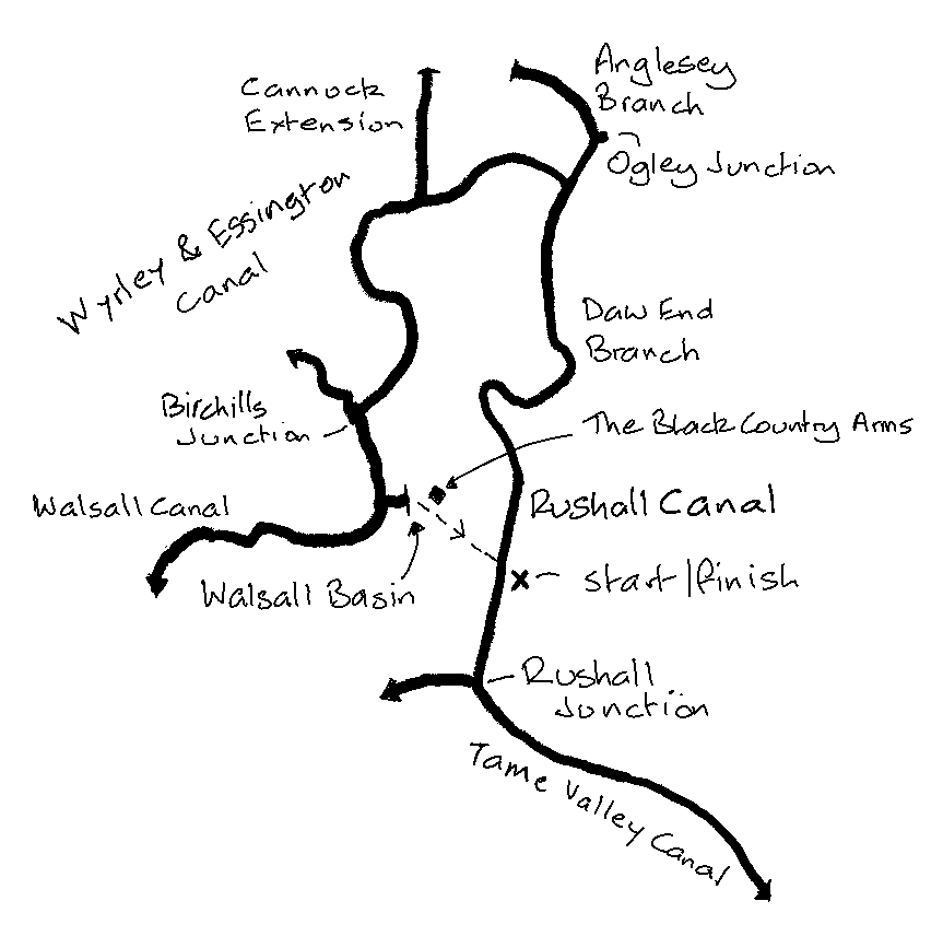
Objective: park at Walsall, cycle the length of the Rushall Canal from the Tame Valley Canal to the junction with the Wyrley & Essington. Complete various branches before heading west to the Walsall Canal, taking this down to the Walsall Town Arm, and returning to your car.
Note: you could easily do this ride arriving at Walsall Station by train. The station is close to High Street in the town centre, where you can join the ride, doing the last bit first.
Trip Type: solo cycle (circular ride)
Distance: 29.5 miles
Time to complete: 3.5 hrs, 8.4 mph
Nicholson Guide: Guide 2 pp 48-49, 54-55, 60
Costs: free parking at Walsall. No trains required as this is a circular ride.
Difficulty: fair
Adjacent Rides: Fazeley Junction to Gas Street Basin, Wyrley & Essington and Wednesbury Oak Loop
Overview
A very scenic, mainly rural and easy ride, which may surprise you given it is basically a circumnavigation of Walsall. Towpaths are good all the way round, although varying between metalled, compacted earth and gravel, and on occasion grass. There are no tree roots, slopes, stones or overgrowing vegetation to worry about, and a consistently wide towpath. Navigation is easy. The ride can be shortened to 23 miles by missing out the Anglesey Branch and the Cannock Extension. There is a very good pub with a wide choice of ales to finish with in Walsall town centre.

1. Rushall Junction to Catshill Junction
Park your car on Lonsdale Road, Walsall, WS5 3HJ. Plenty of parking at the north end of the street, near the junction. Turn left on Park Hall Road and cross the canal bridge. Take the slope on the left (south) down to the towpath. Cycle 1.5 miles down (south) to Rushall Junction, which is just under the M6/M5 junction. Take care – there is a steep slope under the bridge at Lock 7. Turn around and head north, back up the locks and continue on the long straight section to Longwood Junction, where the Hay Head Branch goes off to the right. If you want to take in this branch cross at Rushall Top Lock (Lock 1) . The start of the branch is populated with parked boats, and it then tails off to a trail through the woods.
At Longwood Junction the canal bends, and changes its name to the Daw End Branch, which is a contour canal, and so there are no further locks all the way to Catshill Junction, however the towpath is compacted earth and gravel all the way along this section.
2. Anglesey Branch and Cannock Extension Canal
Cross the bridge at Catshill Junction to turn right on the Anglesey Branch of the Wyrley & Essington (known affectionately as the Curly Wyrley). There is a steep bridge to cross at Ogley Junction, where the canal turns sharp left and becomes a feeder channel from Chasewater Reservoir. The last section is a track weaving through a wood. It’s worth cycling up the ramp to the top of the dam to take in the view of the watersports venue, and have a Tunnock.
Returning to Ogley Junction, note that the Wyrley & Essington used to continue at this point and join the Coventry Canal. It was known as the Lichfield Canal along this stretch. You pass the other end of this disused section on the Fazeley Junction to Burton ride. The restoration of this stretch of canal is underway (so another ride will be required in due course!).
Return to Catshill Junction, cross the bridge again, and turn right on the Wyrley & Essington. Continue to Pelsall Junction, where the Cannock Extension Canal heads off to your right.
Cycle the mile up the Cannock Extension on a rough cinder track. The canal finishes at the A5, Watling Street. Return to Pelsall Junction.
3. Pelsall Junction to Walsall
Back on the Wyrley & Essington there is a wide grass path for a while, which could be tricky when wet. Soon the canal bends south and winds another 4.5 miles to Birchills Junction. At this point the Wyrley & Essington meets the Walsall Canal. Cross the bridge at the junction and turn left on the Walsall Canal.

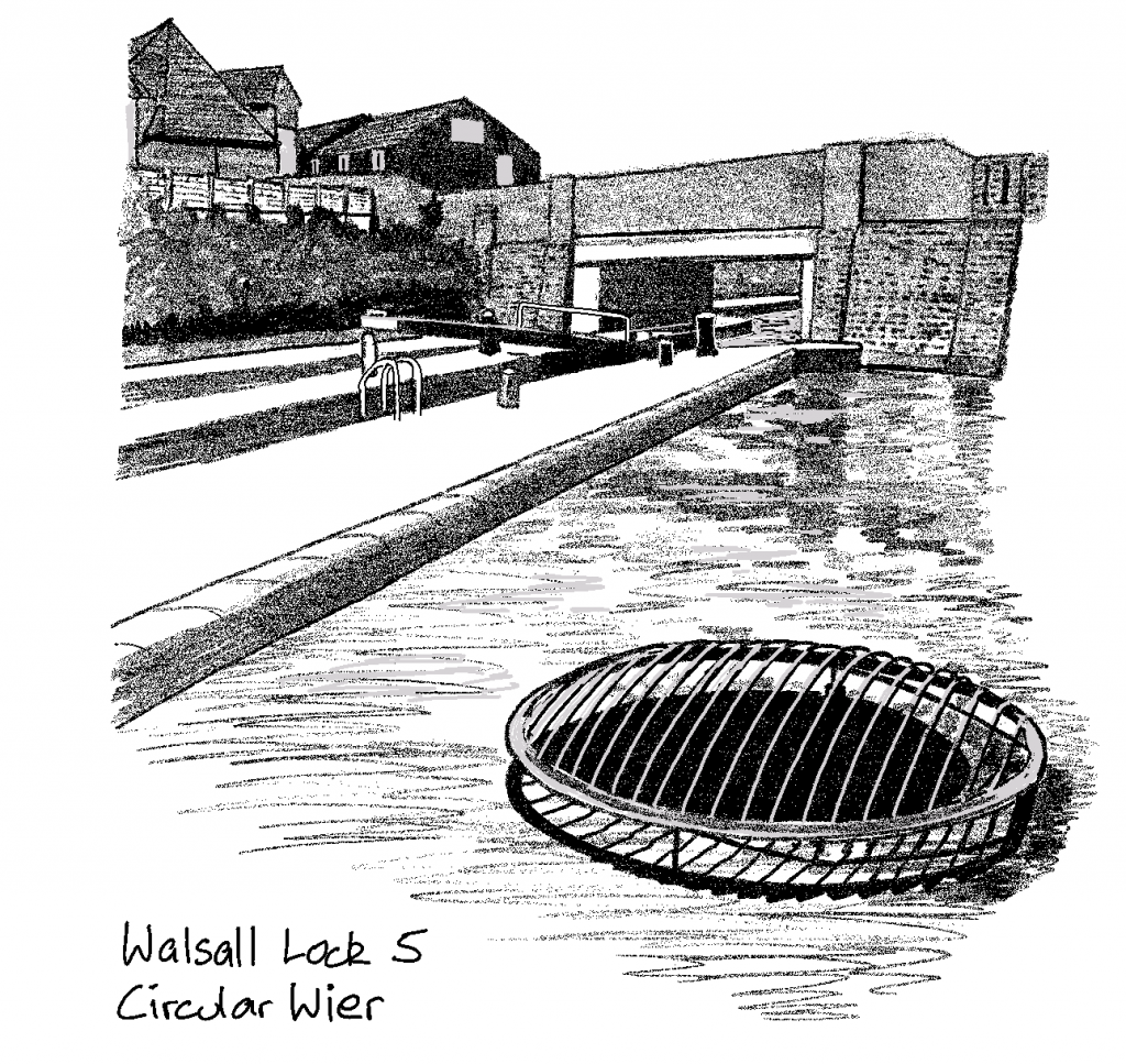
Head down the 8 Walsall Locks to the foot, where the canal widens out at Walsall Junction. Continue just past the junction, cross the bridge, and double back on the opposite side onto the short Walsall Town Arm.
At the end navigate round the Piri Fino restaurant to Gallery Square, and continue through the shopping centre to the Black Country Arms on the corner of High Street and George Street, which is open all day and has an excellent choice of beer and nutritious scratchings.
Dragging yourself away from the pub continue up the hill on High Street. Bear slightly left on the path round St. Matthews church (which is on a steep hill). Go through the church grounds, or along Bullock’s Row. Turn left onto Birmingham Street, initially a quiet street, which becomes the busier A34. However, once past the roundabout, you can quickly turn left onto Lake Avenue, then immediately right onto Birmingham Road (a residential street running parallel to the A34). This then becomes Park Hall Road which takes you back to the canal. Turn right once over the bridge to return to your car.