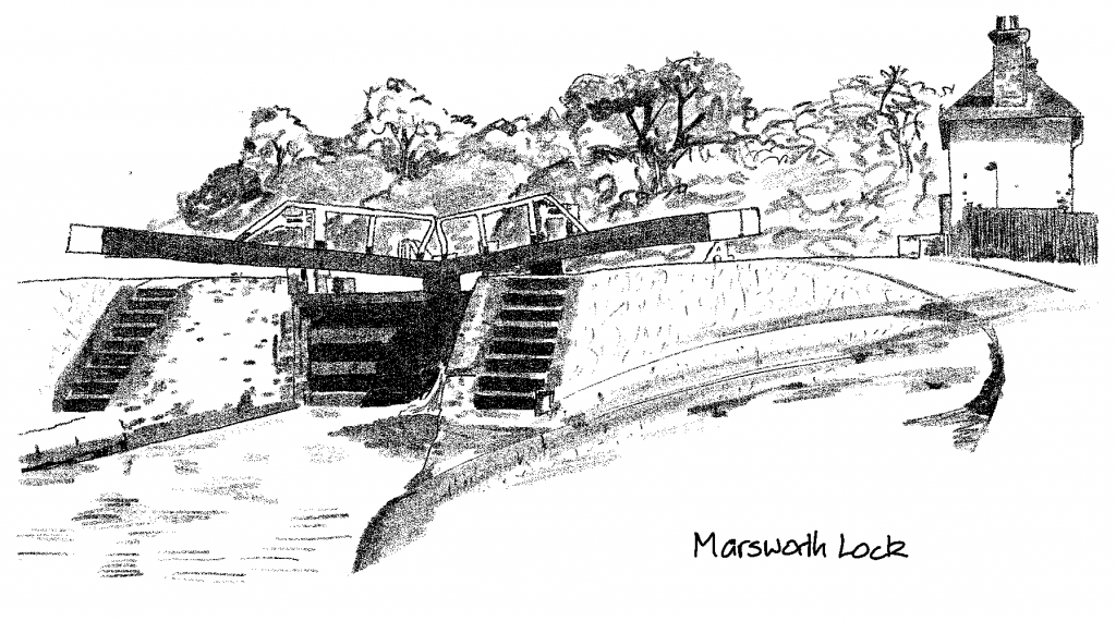
Objective: park at Wendover, take the train to Aylesbury, cycle the Aylesbury and Wendover arms of the Grand Union via Marsworth.
Trip Type: solo cycle
Distance: 16 miles cycling
Time to complete: 3 hours 20 mins cycling, 6.6 mph, plus train journey (8 minutes)
Nicholson Guide: Guide 1, pp 58-59, 62-65
Costs: free parking at Wendover, £5.40 single from Wendover to Aylesbury
Difficulty: moderate
Adjoining Ride: Milton Keynes to Tring Station
Overview
A bit grim heading out of Aylesbury, but then some nice countryside, and especially pretty approaching Wendover, so worth doing the ride this way round. Some very poor towpath sections as the Aylesbury Arm approaches the Grand Union mainline near Marsworth. The initial section of the Wendover arm is under restoration, and if lucky you may see the volunteers and diggers at work.
1. Wendover to Aylesbury Basin
Park at Witchell Pavillion car park, Witchell, Wendover HP22 6EF, for free. The station is a 400m away. Take the twice hourly train to Aylesbury – just 2 stops and 8 minutes.
On leaving the station turn right onto the A41, cross the first roundabout, and turn right at the second roundabout onto Walton Street dual carriageway. The canal basin is to your left, surrounded by offices and not very visible.
2. Aylesbury Basin to Marsworth (7 miles)
The basin is sad and neglected – not really worth bringing your boat all the way up. The towpath out of Aylesbury is to the right and frequented by drug users. It is metalled for the first mile, then compacted earth and gravel. Locks rise all the way out of town . The towpath worsens after Lock 13, and is particularly poor between Locks 12 and 11, and again between 7 and 6. In both cases there are deep puddles when wet, and you will need to walk some stretches. There are also sloping sections with tree roots.
After Lock 6 the towpath improves all the way to the junction.
Locks 1 & 2 form a small staircase close to the junction with the Grand Union mainline. Turn right and keep to the right up the locks.
3. Marsworth to Wendover (8 miles)

At the Wendover Arm junction go over the bridge, then double back underneath. The towpath is ok, narrow in places, mainly compacted earth and gravel with a few grassy stretches, but easily ride-able.
At the time of writing (July 2021) the central section of the canal, past Little Tring basin which is the current end of the navigation, is under restoration, and a concrete liner is being laid. The plan is that eventually the canal will be navigable all the way into Wendover.

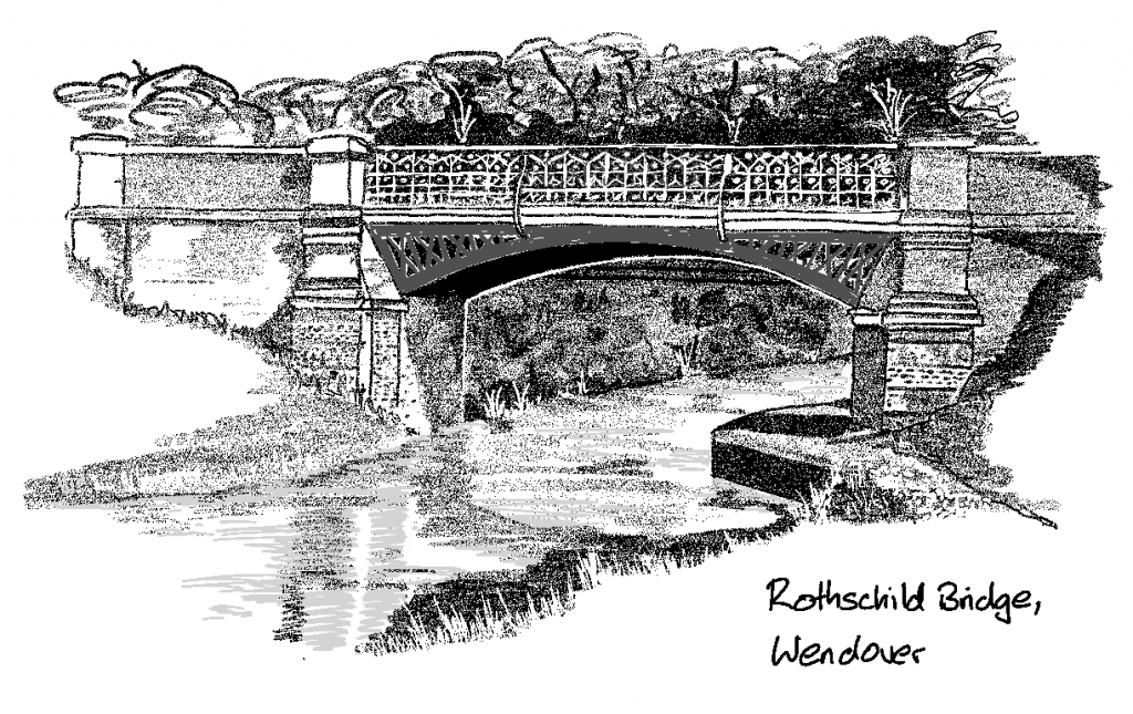
On the way into Wendover the canal is picturesque, with some lovely bridges (including Rothschild Bridge, right), and mature woodland with plenty of nature to be seen (I saw a Great Egret doing a spot of fishing). The towpath changes sides a couple of times, not always obviously. There are a few sloping earth sections in the woods which can be slippery when wet. Just before the end of the section the path is very narrow and bumpy, there are nettles, and quite a few dog walkers to negotiate.
At Wharf Lane turn right, then left at the roundabout onto Aylesbury Road into the town centre and bear right up High Street back towards the car park.
The Shoulder of Mutton is handily placed between the station and the car park should you be thirsty, but there are plenty of other pubs and cafés to choose from, and a very nice cheese shop on the High Street.